Engineering & Geophysical Consulting
Engineering & Geophysical Consulting
I provide independent processing and interpretation of GPR data, including second opinions on difficult or uncertain results. I also advise on survey design, acquisition quality, processing strategy, reporting, technical troubleshooting and GPR product development.
From 1995 to 2008, I worked in academic radar research across several radar technologies, with particular emphasis on signal processing and the imaging and representation of GPR data. In 2006, I obtained my PhD from TU Delft with the dissertation “Advanced GPR data processing algorithms for detection of anti-personnel landmines.”
Between 2008 and 2019, I was technical lead and held P&L responsibility for more than 300 GPR projects in the Netherlands and neighbouring countries. My work covered the complete project chain, from production setup and field acquisition to interpretation and reporting, alongside company-level development of GPR methods, workflows and production capability.
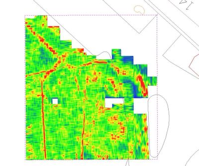
The GPR depth slice shown here comes from a commercial survey conducted in a historic city centre in 2009. It reveals several buried utilities and was generated using in-house processing and visualisation software, at a time when this kind of GPR result could still elicit a genuine “wow”.
My sonar work covers bathymetric mapping, high-resolution sub-bottom imaging and the detection of moving targets in the water column. Although the applications differ, they share a technical foundation: long-duration coded or noise-like acoustic signals combined with correlation-based reconstruction and detection.
I have worked across system architecture, signal design, processing, imaging, prototyping and field performance. The principal public records are named below; most project-specific details remain confidential.
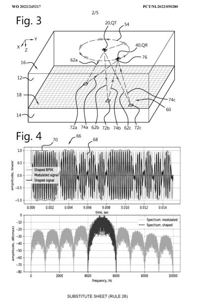
I am co-inventor of “Method and System for Mapping a Region” (NL2033566B1), concerning high-resolution acoustic mapping using coded signals and correlation-based reconstruction. There are several more patents covering this field.
I am co-inventor of “Method and System for Mammal Detection”, a published patent application concerning the detection and tracking of moving targets in the water column. Although framed around marine-mammal detection, the method has broader surveillance relevance.
I am co-inventor of “Method and System for Mapping a Subsurface Region” (NL2033496B1). Related work is presented in “CLAMS: A Surface-Based Approach to 3D High-Resolution Sub-Bottom Imaging for Offshore Wind”, which I co-authored for EAGE GET 2025.